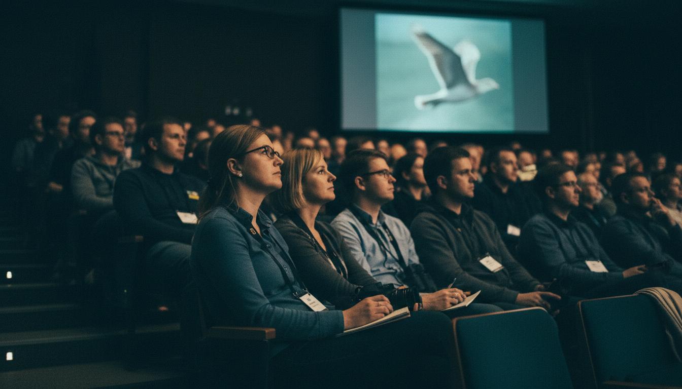
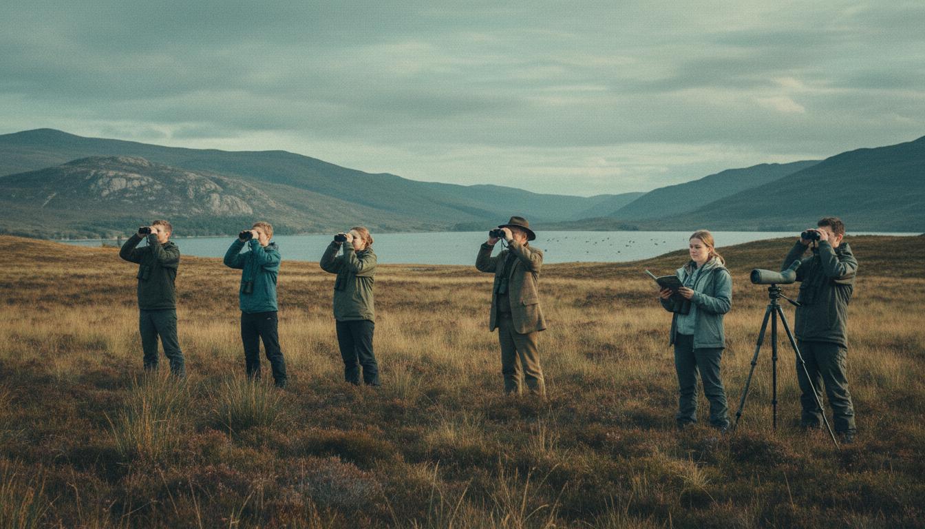
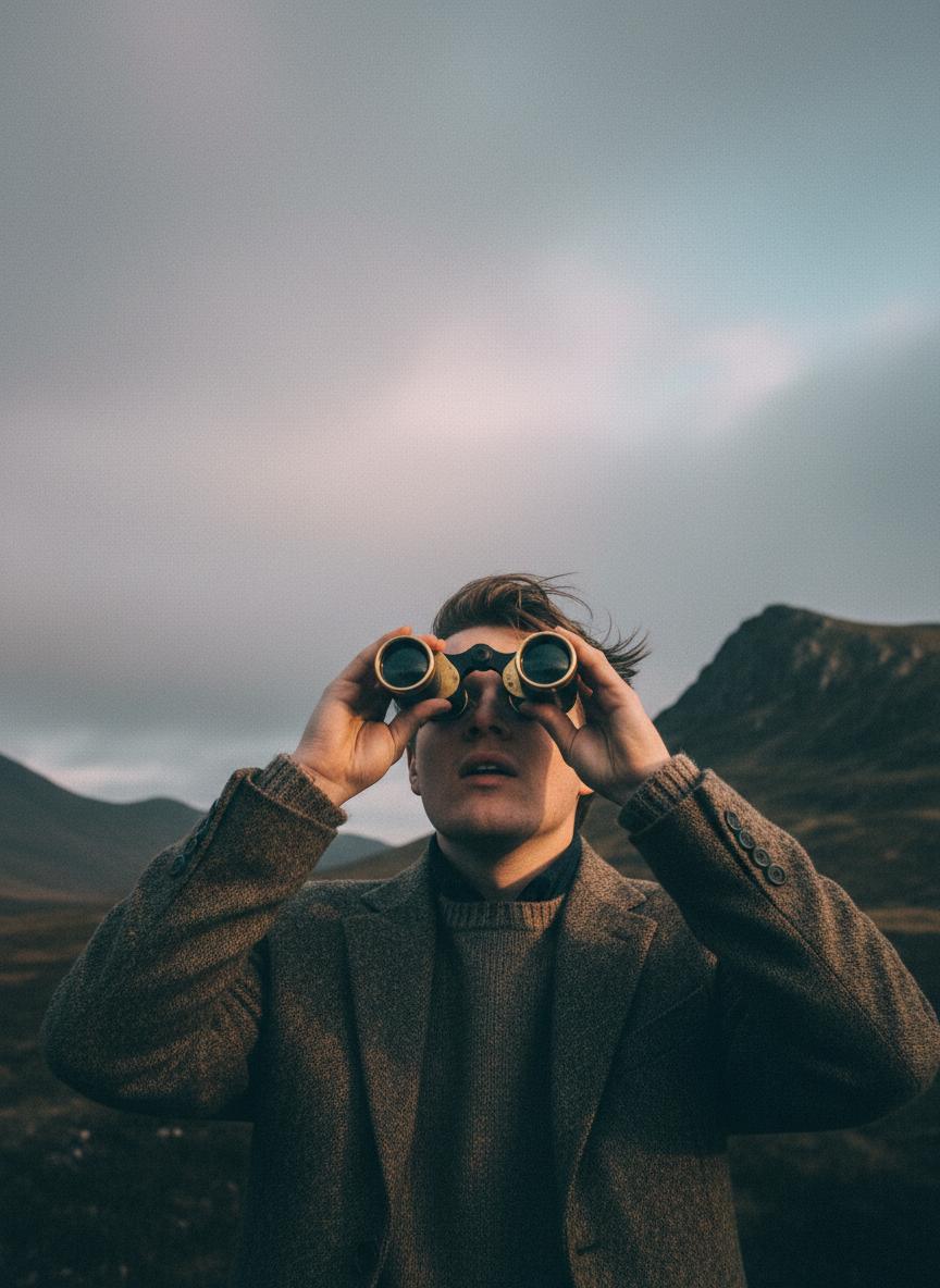
Scottish Ornithologists' Club • Since 1936
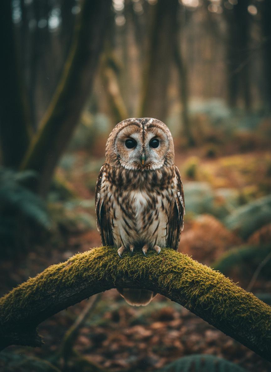
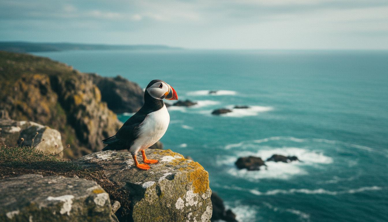
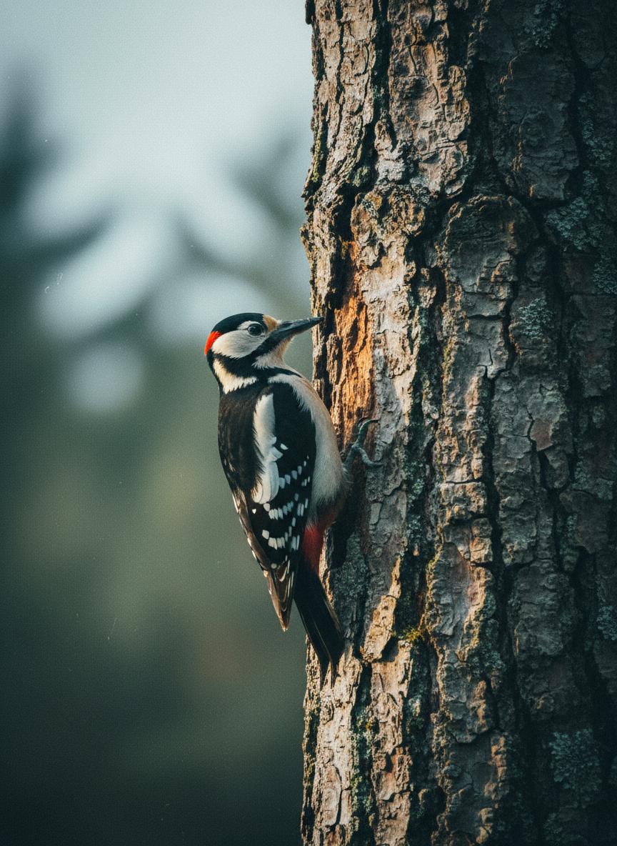
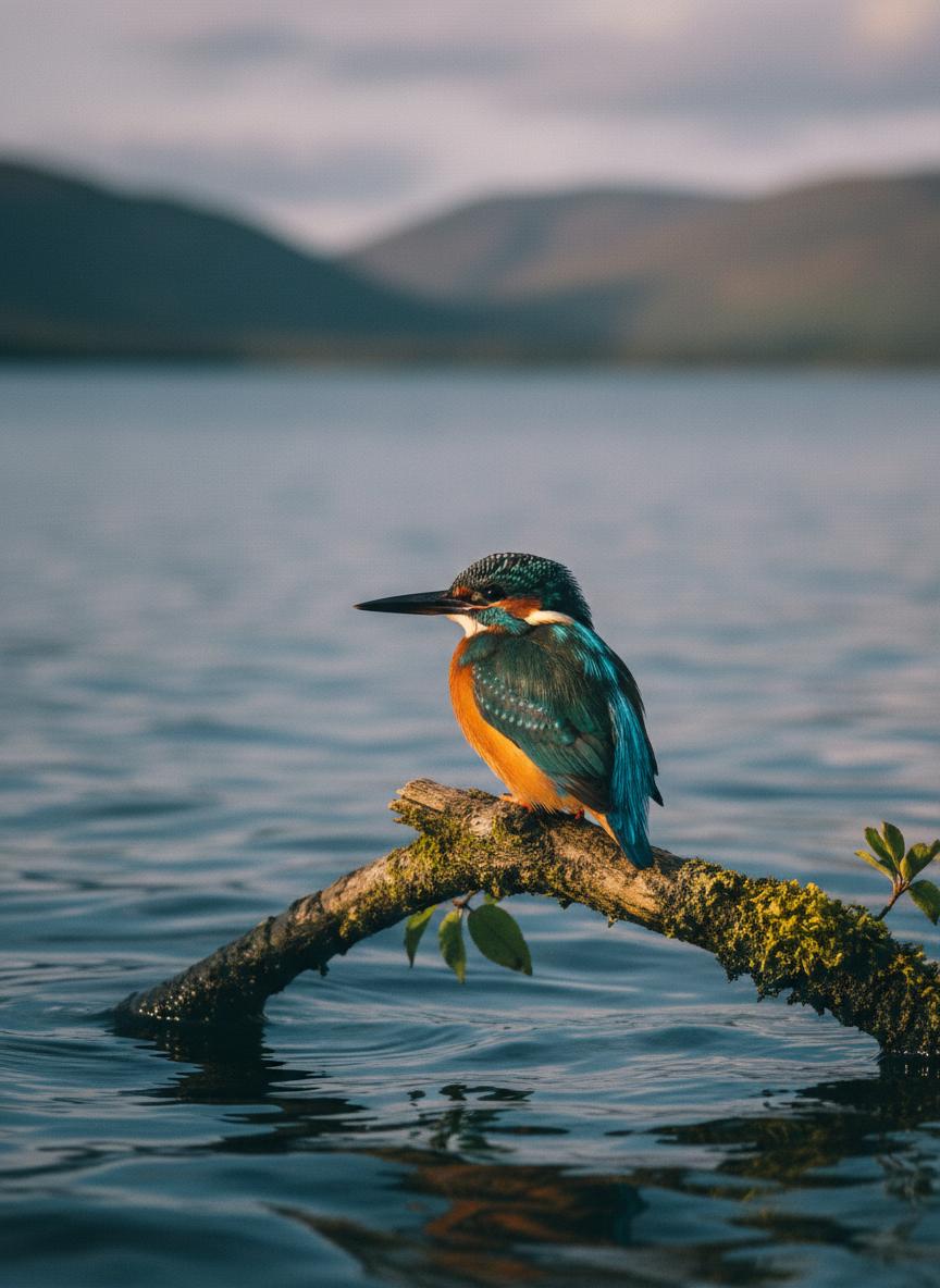
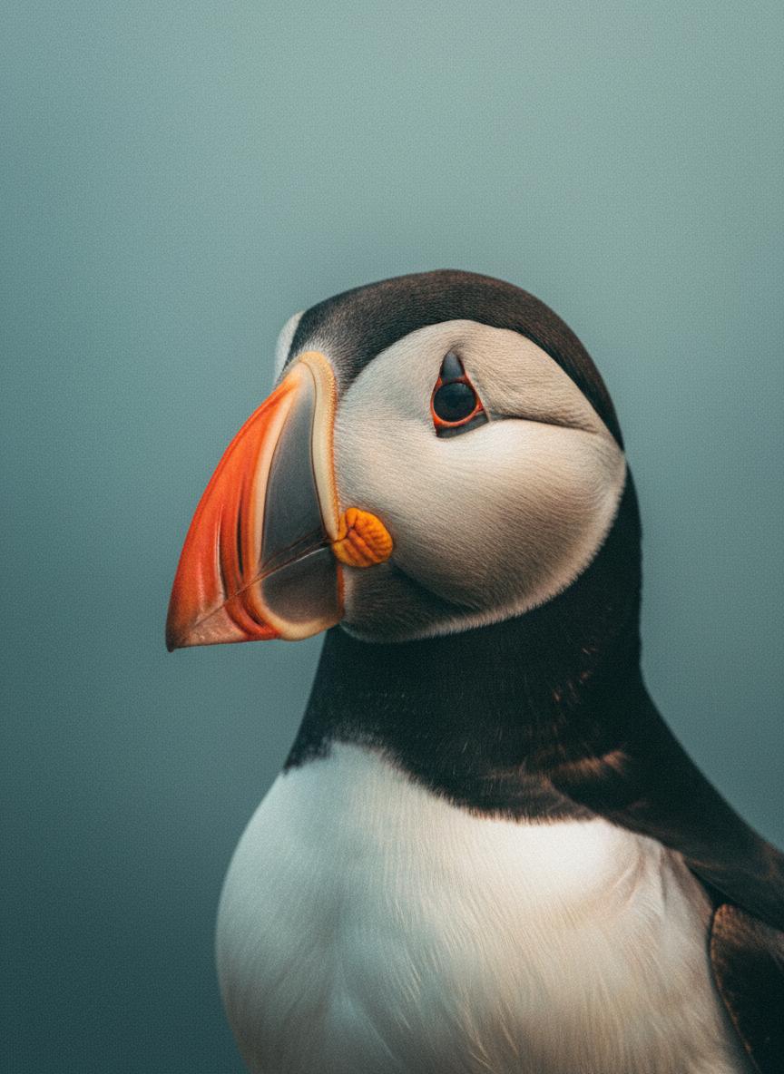
Scotland's Birds
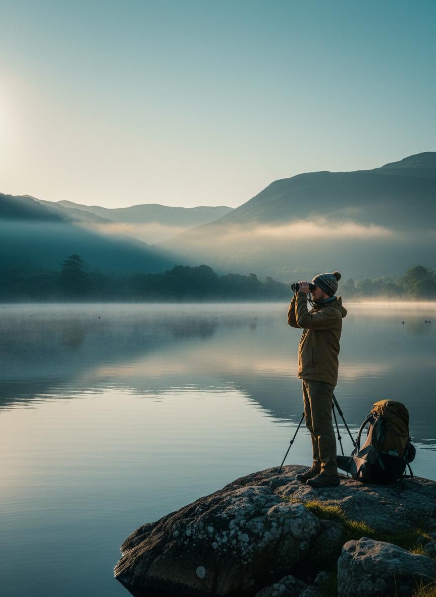
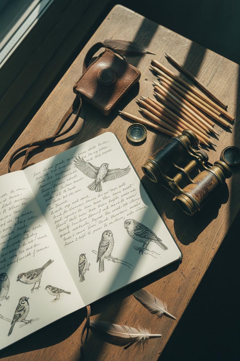
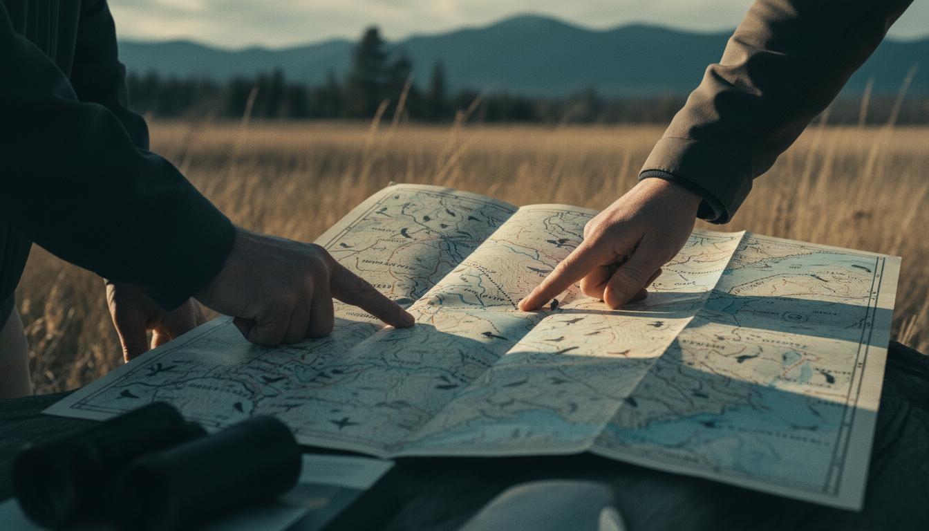
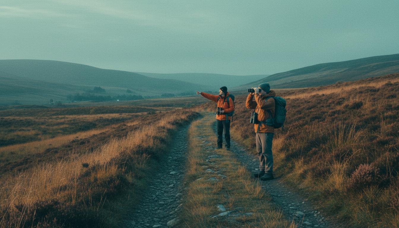
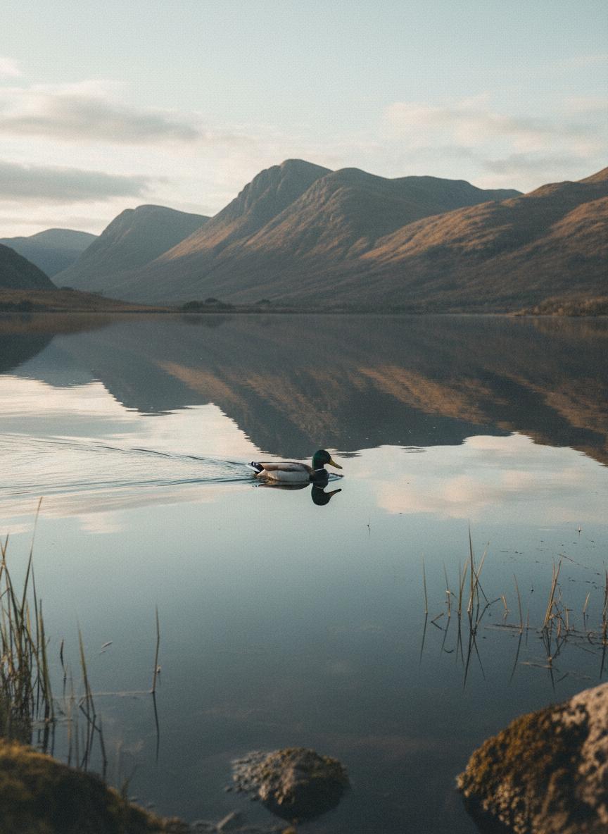
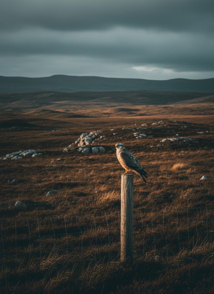
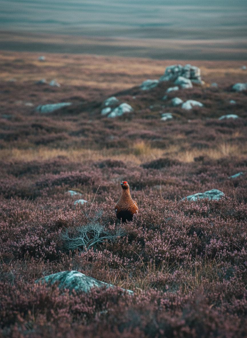
A community of observers, researchers, and protectors—documenting Scotland's birdlife for nearly a century.
Est. 1936